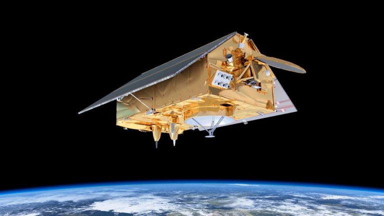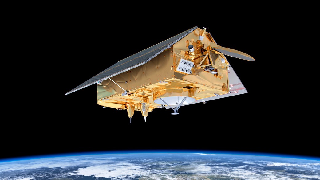
SpaceX’s latest endeavour of mapping the rise in sea level took off at the end of last month. The Falcon-9 rocket carrying the Sentinel-6 Michael Freilich satellite, launched at 9:17 a.m. PST (12:17 p.m. EST) on Nov. 21, 2020, from Space Launch Complex-4 at Vandenberg Air Force Base (VAFB) in California.
SpaceX’s latest endeavour of mapping the rise in sea level took off at the end of last month. The Falcon-9 rocket carrying the Sentinel-6 Michael Freilich satellite, launched at 9:17 a.m. PST (12:17 p.m. EST) on Nov. 21, 2020, from Space Launch Complex-4 at Vandenberg Air Force Base (VAFB) in California. The spacecraft has been named in the honor of Michael Freilich, who was one of the pioneers in advancing ocean observations from space. Falcon 9 released the satellite and returned back to VAFB via a vertical landing while the Sentinel 6 separated from the rocket’s second stage and started its orbital route. Ground controllers successfully acquired the satellite’s signal, and initial telemetry reports showed the spacecraft in good health.
The satellite will now follow a series of exhaustive acquisition of data regarding sea level up to an accuracy of 90% of the world’s oceans in the upcoming months. This mission would also help in forecasting weather and climate models by acquiring precise data of humidity and surface temperature of Earth.


