GAIA space observatory’s new map of the Milky Way tracks billions of stars
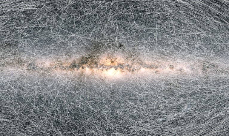
The Milky Way will have a more detailed map, thanks to all the informations that GAIA gathered in its six years of activity. ESA’s GAIA space observatory was launched in 2013 and began its job in July 2014. Orbiting at 1.5 kilometers away from Earth, the 1$ billion spacecraft is capable to observe 100 thousands […]
SpaceX Sentinel-6 mission begins to map sea levels
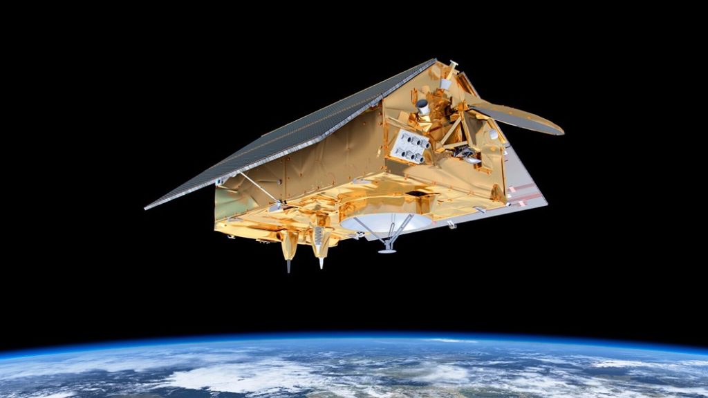
SpaceX’s latest endeavour of mapping the rise in sea level took off at the end of last month. The Falcon-9 rocket carrying the Sentinel-6 Michael Freilich satellite, launched at 9:17 a.m. PST (12:17 p.m. EST) on Nov. 21, 2020, from Space Launch Complex-4 at Vandenberg Air Force Base (VAFB) in California. SpaceX’s latest endeavour of […]
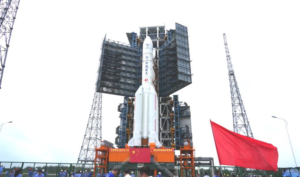
Change’5: first lunar-sample return mission in almost 50 years