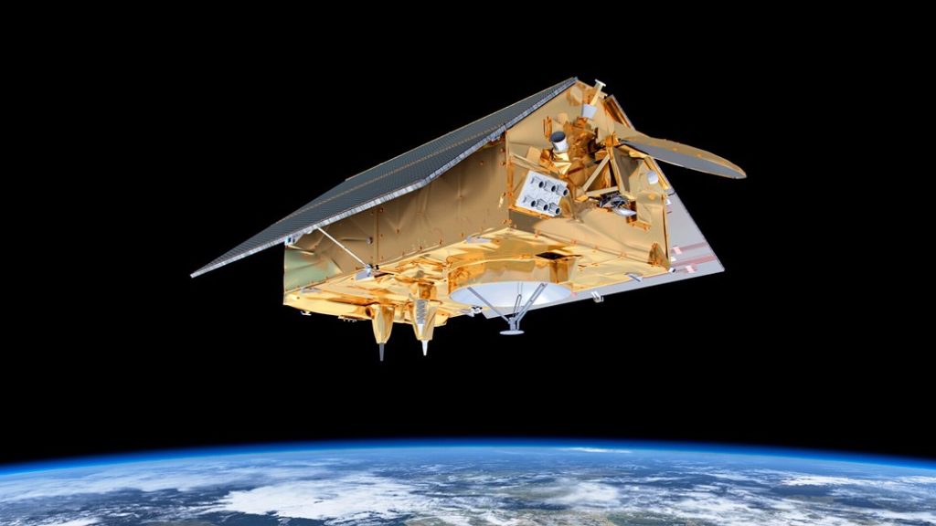
SpaceX Sentinel-6 mission begins to map sea levels
SpaceX’s latest endeavour of mapping the rise in sea level took off at the end of last month. The Falcon-9 rocket carrying the Sentinel-6 Michael Freilich satellite, launched at 9:17 a.m. PST (12:17 p.m. EST) on Nov. 21, 2020, from Space Launch Complex-4 at Vandenberg Air Force Base (VAFB) in California. SpaceX’s latest endeavour of […]
SpaceX Sentinel-6 mission begins to map sea levels Read More »


